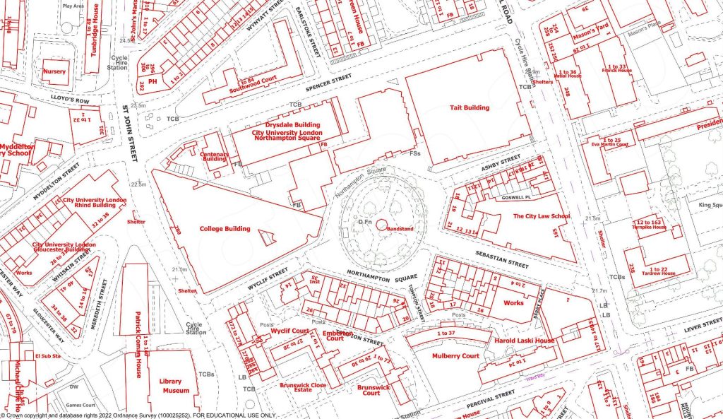
Digimap is an online service that allows you to create maps of any location in the UK using Ordnance Survey map data.

As well as OS topographic data, you can view a range of information including:
- Historic maps, from 1846 to 1996;
- Geological maps and data;
- Nautical charts and a range of maritime features;
- Environmental maps, describing land cover (grassland, woodland, etc);
- High-definition aerial photography.

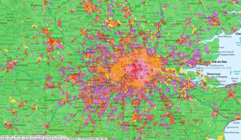
You can also create maps for a variety of social and demographic factors, such as age, employment, and internet access. Verisk data provides insight on property and land use, and agCensus offers visualisation tools for the agricultural activity.

You can download map data for all functions, or use the ‘Roam’ function to visualise most maps from your browser window.
